V008-MEXICO HURACAN POLO
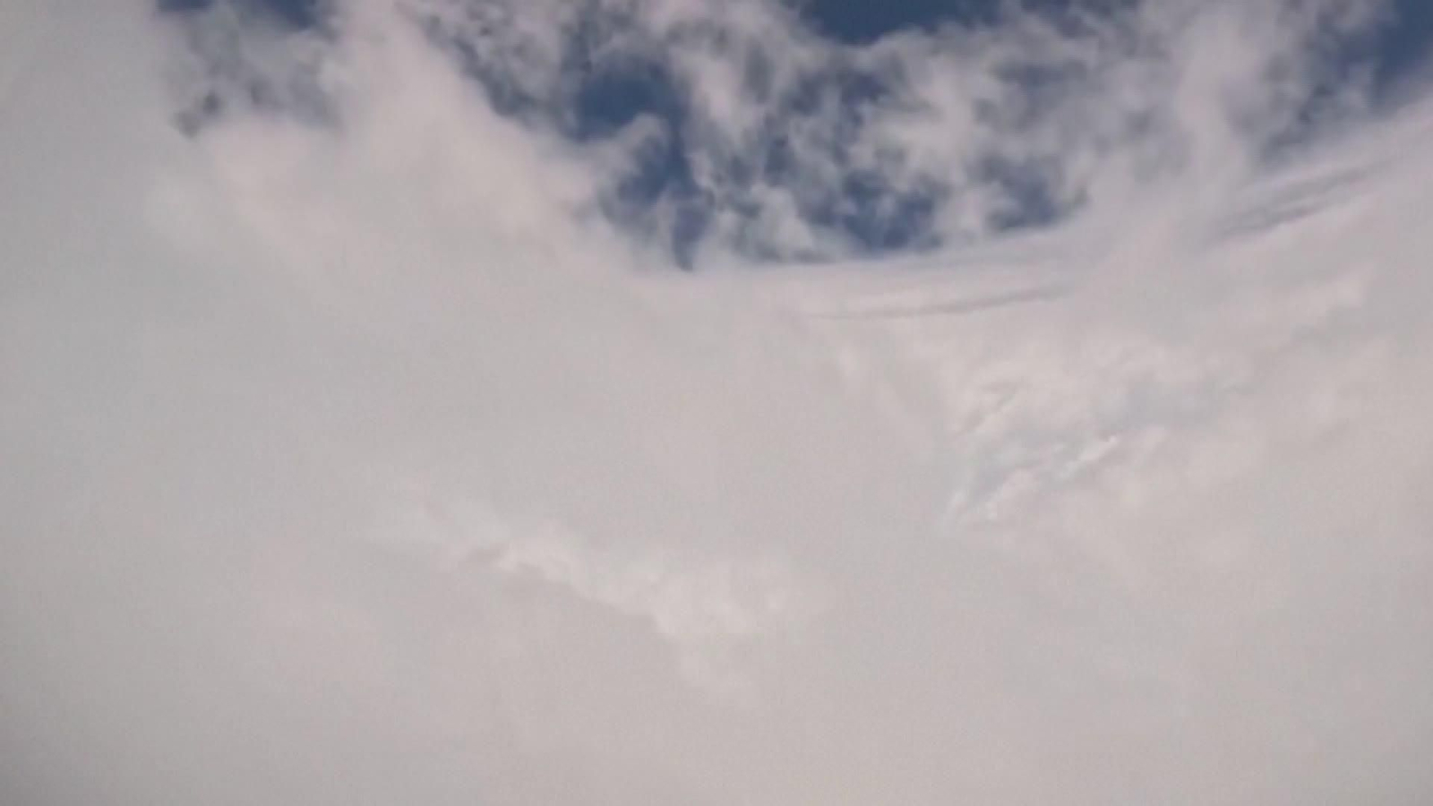
NOAA Hurricane Hunters flew a research mission into Hurricane Polo earlier this week, with video from aboard the agency’s P-3 aircraft showing the crew passing through the storm’s eyewall and into the calm eye.
The flight was conducted to collect data used to improve hurricane forecasting and support research into rapid intensification, a process in which storms strengthen quickly, the agency said in a social media post.
With maximum sustained winds near 155 miles per hour (250 kph) Polo has been classified last as a Category 4 storm, a notch down from level 5, the highest level on the Saffir-Simpson scale, which it had previously reached.
As the NHC keeps adjusting the storm's force, it said it could see some near-term strengthening and is expected to remain a major hurricane for the next few days.
The storm has caused heavy surf and rain in southwestern Mexico.
AccuWeather, a private forecaster, expected Polo to make landfall late Sunday (September 27) night into Monday (September 28), to lose some steam and to reach a Category 2 hurricane as it tracks across the Baja California peninsula north of Cabo San Lucas, where local authorities have already begun restricting beach access and closing the local harbor.
DESCRIPCIÓN DE IMÁGENES
IN AIR / OVER PACIFIC OCEAN (RELEASED SEPTEMBER 24, 2026) (THE NOAA HURRICANE HUNTERS VIA FACEBOOK/PIERCE NIEMIEC - No resale / No archive / Must on-screen courtesy The NOAA Hurricane Hunters via Facebook/ Pierce Niemiec)
1. AERIAL OF REAL-TIME PASS THROUGH THE EYE OF HURRICANE POLO ABOARD A NATIONAL OCEANIC AND ATMOSPHERIC ADMINISTRATION (NOAA) PLANE